


FILES
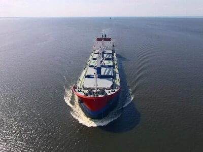
MARINE gps marine chart plotter
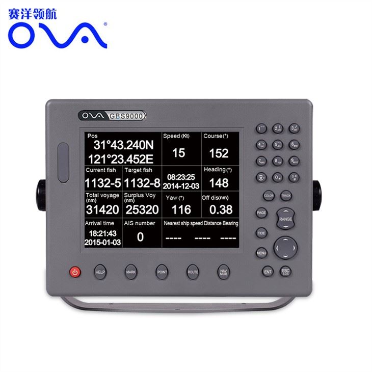
●Independent research and development of GPS receiver board, positioning accuracy, high stable speed and course
●Support GPS + Beidou Accurate positioning
Professional Grade Performance without the High End Price Tag
Marine GPS Waterproof Sunlight Viewable
| Performance Parameter
|
|
| Model | GBS9000-08 |
| Power Supply | DC 24V(11~35V) |
| Power Consumption | 15+1W |
| Power | High-performance, full isolated PWM control of power supply |
| Mount | Bracket Mount or Flush Mount |
| Display Size | 8’’ |
| Screen Resolution | 800*600px |
| Language | Simple Chinese, English, Traditional Chinese |
| Navigation Characteristics | |
| Data Storage | Waypoints:6000;Marks:5000,Routes:200, 48 waypoints/Route Tracks≤800 (Track Points≤20000) |
| Data Display | Suspension Data: Information of ship’s latitude, longitude, fish zone, speed, course; Navigation information of waypoints and routes; Time, date and so on. |
| Other Functions | Tide and Compass Pages; AIS Display and Alarm, AIS Message, Vessel Management(if input AIS) |
| GPS Characteristics | |
| Receive Type | GPS/Glonass/Galileo/Beidou |
| Receive Channel | GPS: 1575.42MHz(L1) Beidou: 1561.098MHz(L) |
| Aquisition Time | Cold Start: 45s Hot Start: 15s |
| Accuracy | GPS:<13m(95%) Beidou: Horizontal 25m(95%)
Vertical 30m(95%) |
| Interface | |
| Input/Output | GPS/Beidou(GGA, GSA, GLL, GSV, RMC, VTG) |
| Output | AIS(VDM) |
| SD Card | Update software and chart, import and export data |